-
-
-
- 1.
-
-
-
-

Home > Trail network > Trail network
Trail network

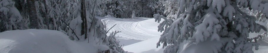
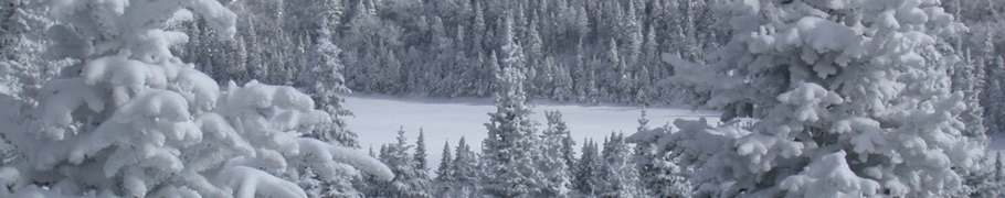
- View from Mont des Cenelles, by the snowmobile trail.
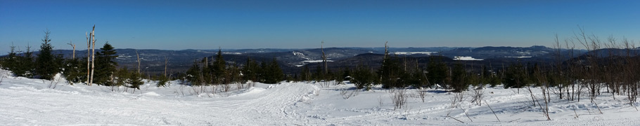
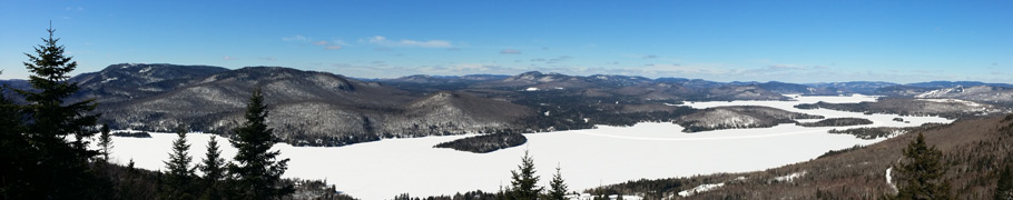
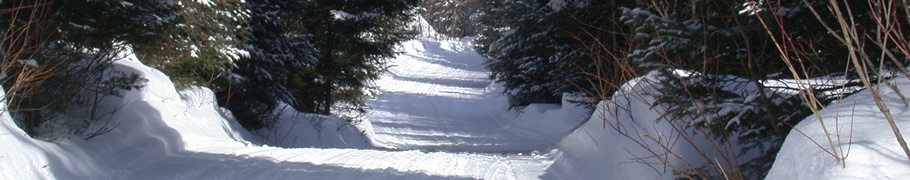
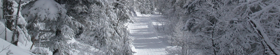
You will find more than 200 kilometers of trails in the St-Donat area, providing you with a good choice of circuits.
The groomers head out to the trails every night, so that they are in perfect shape the next morning.
The trails are wide and safe, winding trough valleys and mountains, and offering riders many breath-taking sceneries.

Articles in this section
Groomer (Trail network)
Wednesday 7 October 2015
The science of grooming progresses constantly. So do our groomers. To meet the ever growing demands of our trail users, in a country of mountains like ours, here is our groomer, the Pisten Bully 400! It has all the qualities required to work on our (...)
Trail map (Trail network)
Wednesday 30 September 2015
The 2019-2020 Trail Map for Saint-Donat is available at all of the advertisers and at the Tourist office
The parking lot located at the 1214 route 125 North is still available to snowmobilers. You can park your vehicle and trailer for free.
Village (...)
Circuits (Trail network)
Tuesday 6 September 2011
Table of contents Black mountain trail Visit two summits Suspended Bridge The grand tour Black mountain trail
This trail is definitely the main attraction in the Saint-Donat area. Furthermore, the Black Mountain is relatively close to the village. It’s (...)

Trail conditions (Trail network)
Thursday 23 February 2017
Click here to know trail conditions.


